2014 - 2016
Photography and digital maps
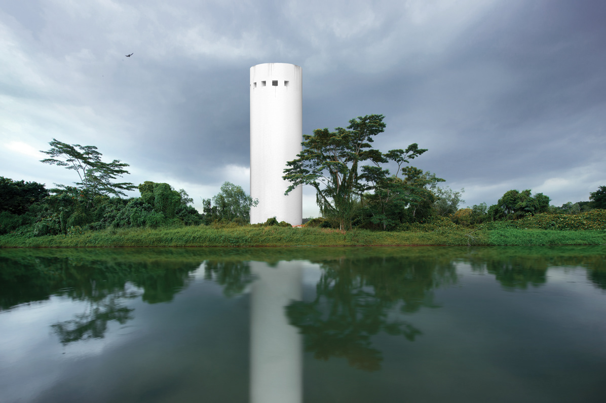
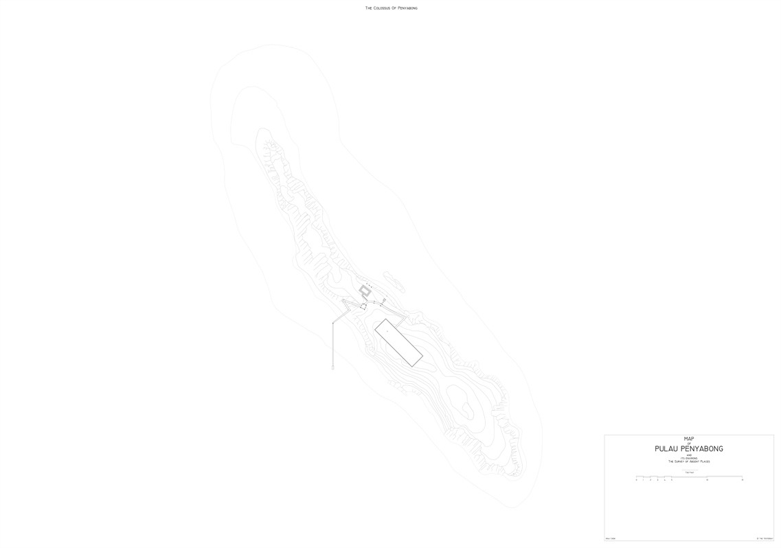
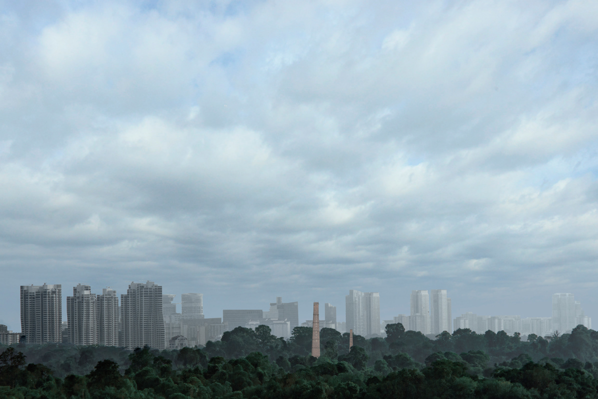
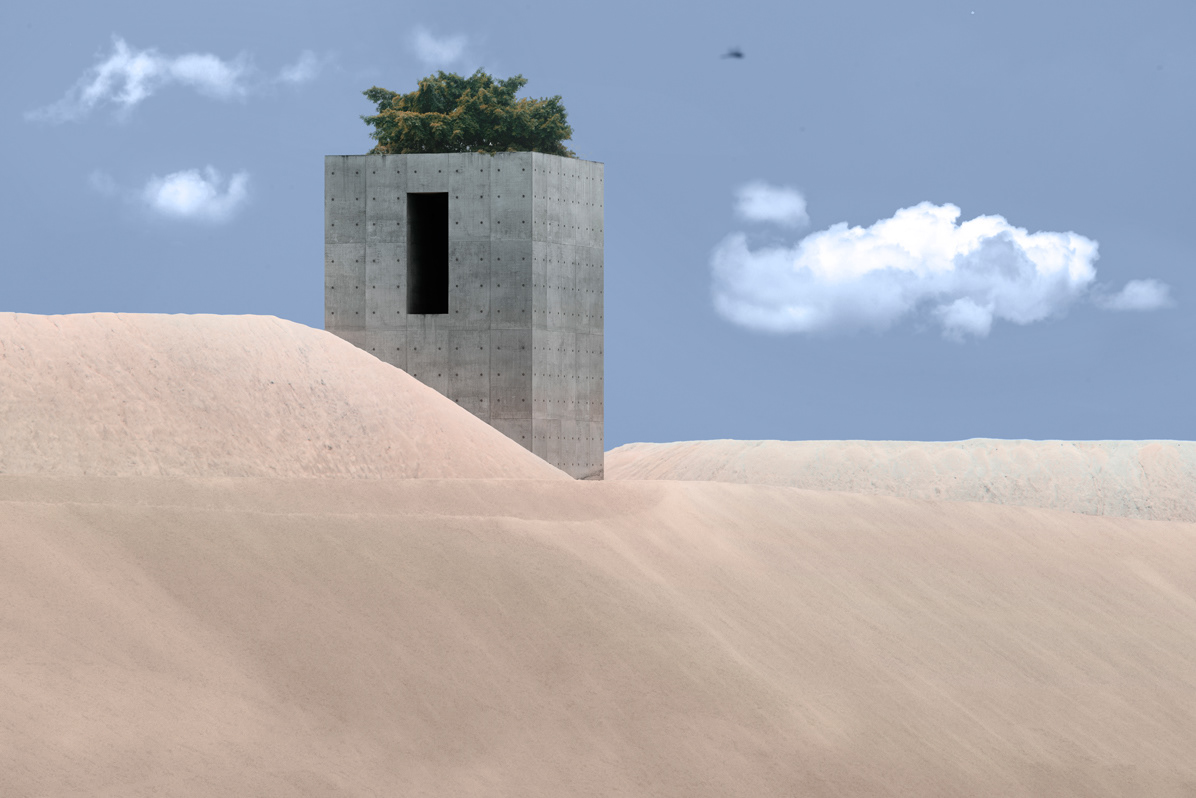
In 30 years, Singapore had been rebuilt anew. Hills and streams give way to towers and highways, beaches lost, and valleys vanished. Lost islands, rivers and entire villages may still be visible as cadastral lot lines, or an unusual kink in a road. Through cartography, we can trace the development and decline of environments, and track interesting remnants of the past in the present. Each line on the map manifests as an object on sit e and as a record of the past. In this work, I traced old maps using CAD. In using technology to capture the past, a dialogue between the past and present
processes is opened. As I ponder what it was like to live in that time, I imagined a fictional narrative and architecture for an alternate past. These structures symbolise the mysterious and curious lens which we often use to look at a distant past, and the often romanticised and inaccurate inferences we draw upon as visitors from another time.
Photography and digital maps
In 30 years, Singapore had been rebuilt anew. Hills and streams give way to towers and highways, beaches lost, and valleys vanished. Lost islands, rivers and entire villages may still be visible as cadastral lot lines, or an unusual kink in a road. Through cartography, we can trace the development and decline of environments, and track interesting remnants of the past in the present. Each line on the map manifests as an object on sit e and as a record of the past. In this work, I traced old maps using CAD. In using technology to capture the past, a dialogue between the past and present
processes is opened. As I ponder what it was like to live in that time, I imagined a fictional narrative and architecture for an alternate past. These structures symbolise the mysterious and curious lens which we often use to look at a distant past, and the often romanticised and inaccurate inferences we draw upon as visitors from another time.